

The Col des Fours variant on the Tour du Mont Blanc offers an alternate route between the Col de la Croix du Bonhomme and the Vallée des Glaciers. Rather than descending directly toward Les Chapieux from the Col de la Croix du Bonhomme, hikers taking the Col des Fours variant continue climbing to the higher Col des Fours, where they are rewarded with incredible views of Mont Blanc, a quieter trail, and a more rugged alpine landscape before descending to Ville des Glaciers, located between Les Chapieux and Refuge des Mottets.
In this guide, we’ll cover everything you need to know about the Col des Fours variant so you can decide whether it makes sense for your itinerary.
Get Your FREE Tour du Mont Blanc Essentials Guide

Sign-up to get your FREE TMB Essentials guide below. Find intel on when to hike, basics about the trail, and a printable packing list
Col des Fours – Stage Overview
Les Contamines → Les Chapieux / Refuge des Mottets
Variant Route
6 km | 4 mi
250 m | 800 ft
850 m | 2900 ft
2 – 3 hours
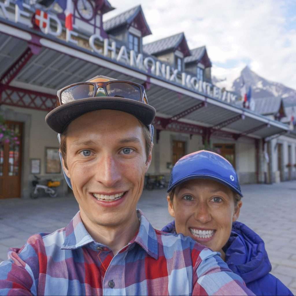
The Col des Fours is one of our favorite alternate routes on the Tour du Mont Blanc and a great way to experience a quieter, more rugged side of the trail. While it requires a bit of extra climbing compared to the standard route to Les Chapieux or Refuge des Mottets, the reward is incredible alpine scenery, expansive views of Mont Blanc, and a far less crowded path.
The route is technically straightforward in good weather, though hikers should still be prepared for some steeper, rockier terrain near the col and lingering snow early in the season. For hikers looking to add a bit more adventure to their TMB without dramatically increasing the difficulty, the Col des Fours is well worth considering.
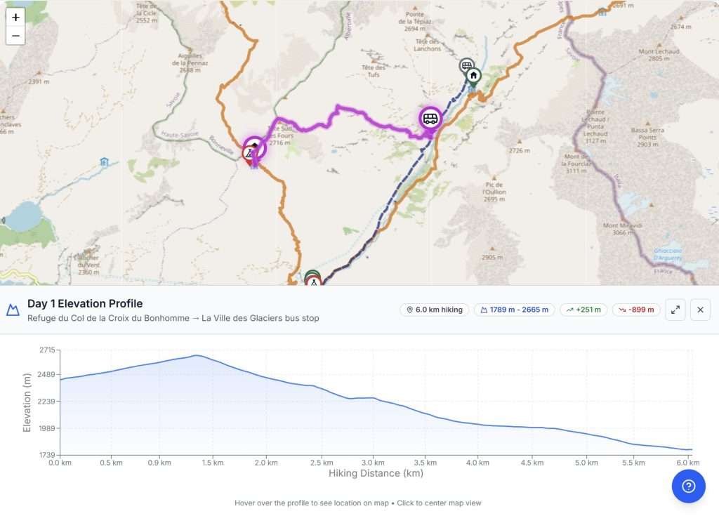
Want to see how the Col des Fours fits into your Tour du Mont Blanc?
In our TMB Trek Planner, you can easily add the Col des Fours variant to your itinerary, compare it directly with the main route, and see how it affects distance, elevation, and daily stages.
It’s a great way to decide whether this spectacular variant makes sense for your itinerary—before you ever set foot on the trail.
The Col des Fours differs from many other Tour du Mont Blanc variants in that it branches from the main trail near the end of the stage between Les Contamines and Les Chapieux. This means that, unlike alternatives that diverge much earlier, hikers taking the Col des Fours will still spend most of the day on the standard TMB route.
The variant is especially popular with hikers staying at Refuge des Mottets, as it avoids the full descent to Les Chapieux followed by the roughly 4 miles / 6.5 kilometers needed to reach the refuge. That said, hikers continuing to Les Chapieux can also use the navette shuttle to skip much of the walk to Refuge des Mottets.
For hikers traveling in the traditional counterclockwise direction, the Col des Fours junction is reached shortly before Refuge de la Croix du Bonhomme and the Col de la Croix du Bonhomme on the standard TMB route. The junction is marked by a small trail sign and a large rock cairn, making it relatively easy to spot.
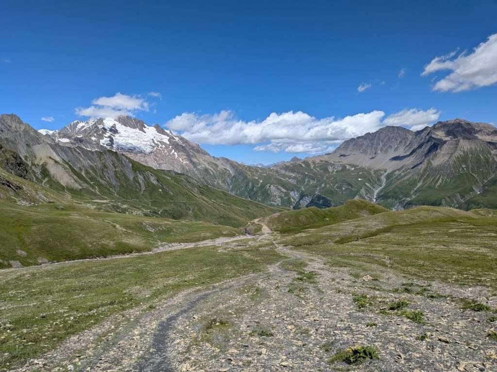
After joining the Col des Fours route, the trail briefly splits into two parallel options that rejoin a short distance later. Either route is fine, as trail conditions are essentially the same. Early on, the trail is technically easy, with smooth dirt and a gradual climb. Although the surrounding alpine views are impressive, your attention will likely be drawn to the large electricity pylon visible ahead.
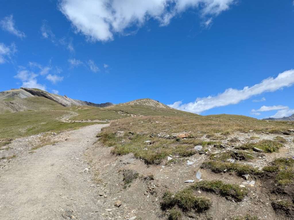
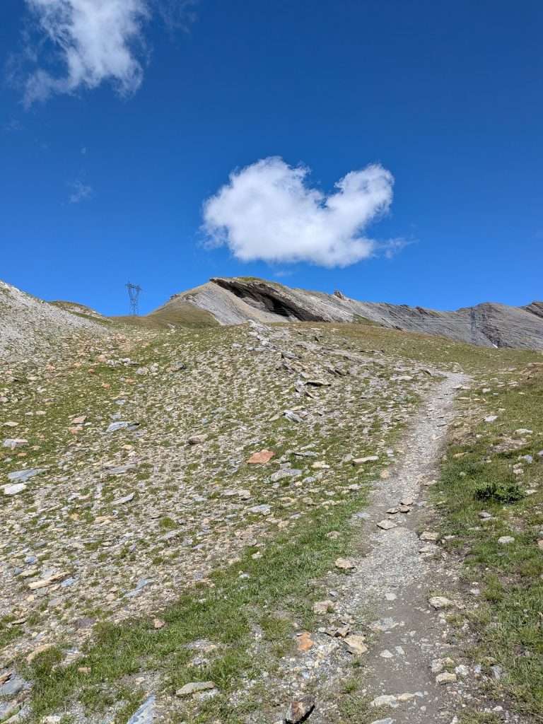
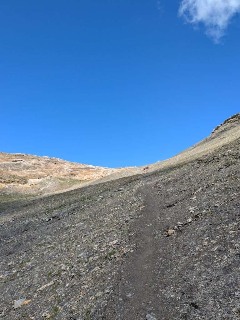
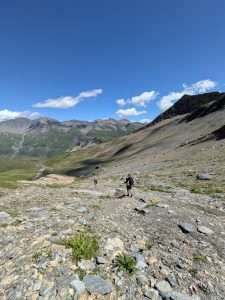
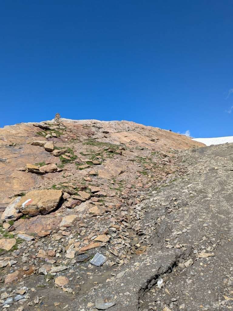
As you gain elevation, the trail becomes rockier and less defined, with red-and-white paint markings and cairns helping guide the way toward the col. The final approach crosses a reddish-brown rock slope that provides good grip in dry conditions but can become slippery when wet. While there is no single obvious trail through this section, route markings are generally frequent and easy to follow. Snow often lingers on the lower portion of the slope into July.
The col itself is marked—somewhat unfortunately—by extensive white paint on the surrounding rocks, and it’s not uncommon to spot ibex or chamois nearby.
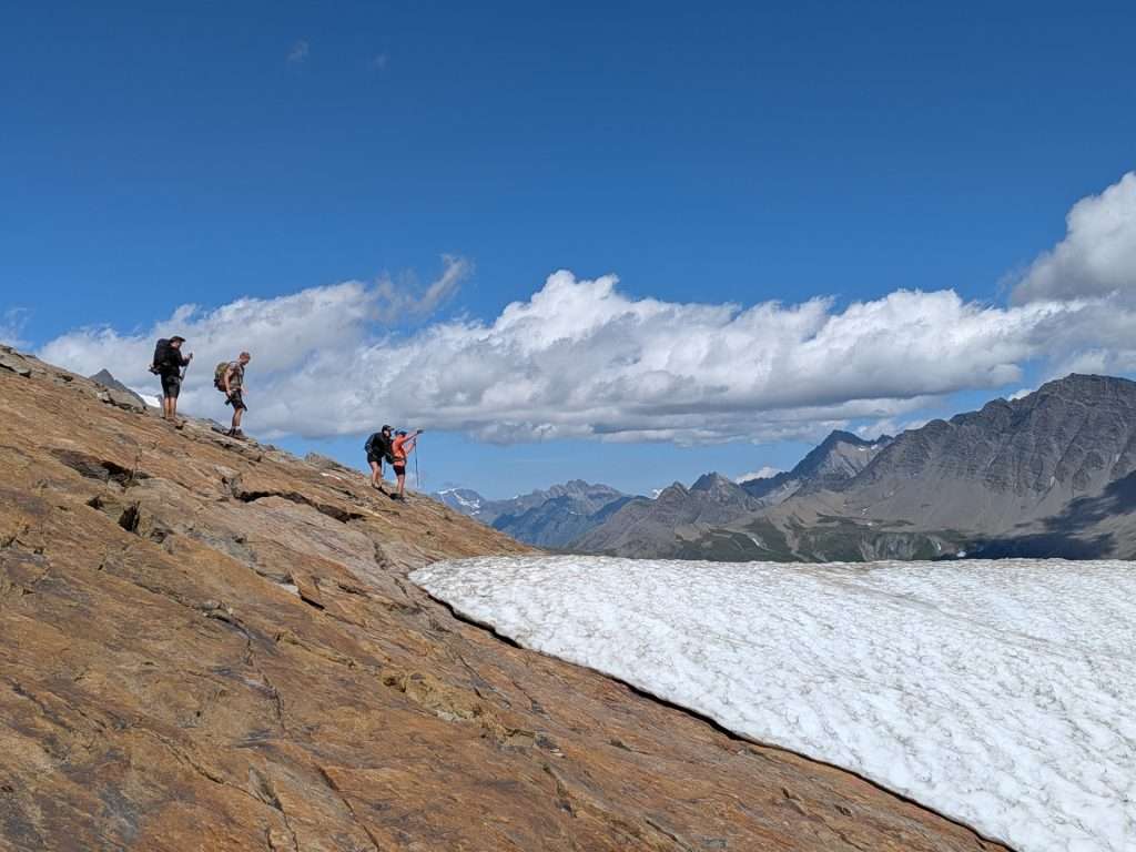
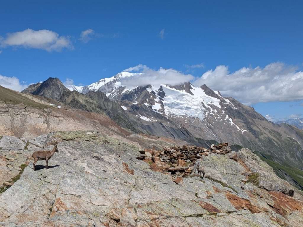
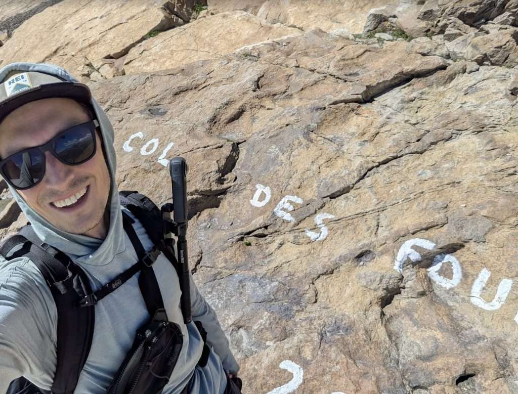
From the col, the trail begins its long descent toward Ville des Glaciers along a steep but straightforward path with generally good footing, alternating between dirt and rock. Several small streams must be crossed on the way down, though none typically pose any difficulty for hikers.
As you descend, the landscape gradually becomes greener and the buildings of Les Tufs, a small alpine farm, come into view. While the descent is long, the views are sublime, and the quieter trail makes this a great place to slow down and enjoy the scenery.
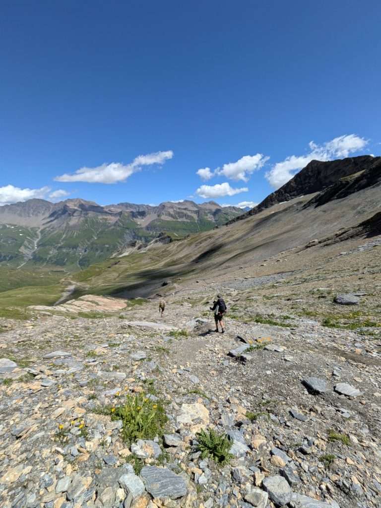
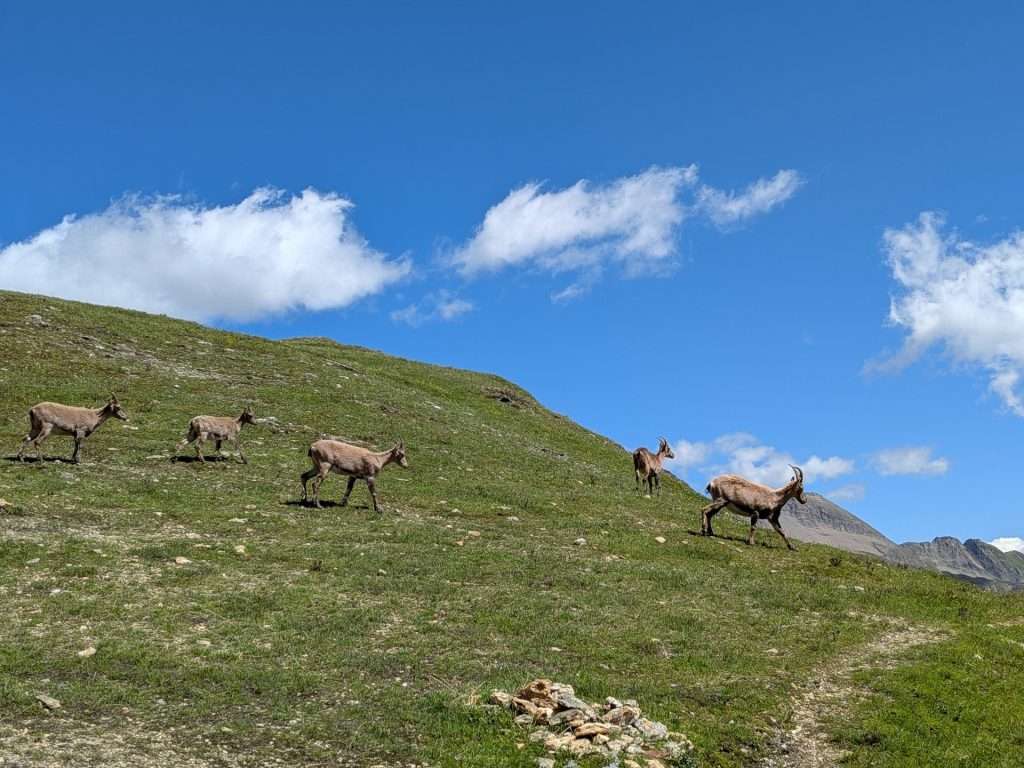
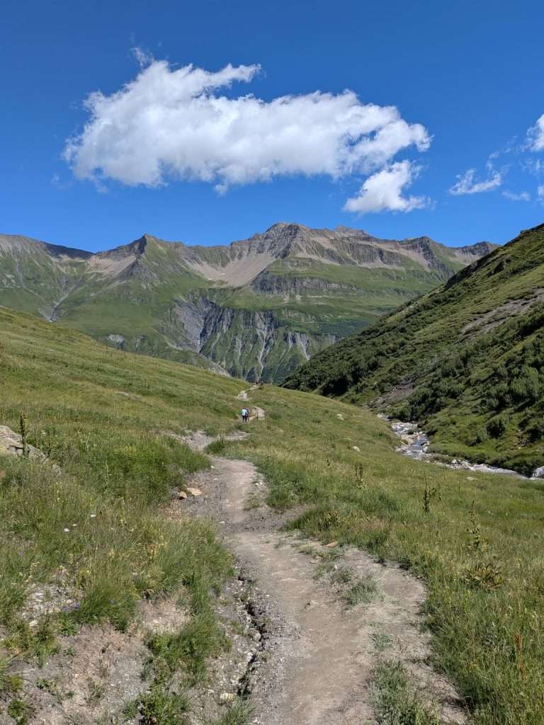
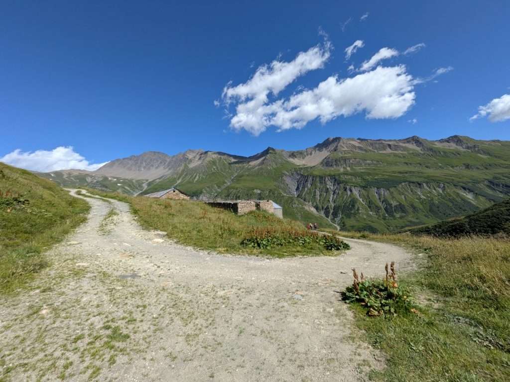
Upon reaching Les Tufs, hikers can either follow the farm road as it winds downhill via a long series of switchbacks or take the signed trail that cuts more directly through the fields. The direct route is well marked and saves time, though it can occasionally be a bit overgrown.
Eventually, the trail joins a well-graded two-track road leading to Ville des Glaciers. From here, it takes roughly 30–40 minutes to reach Refuge des Mottets or about an hour to Les Chapieux.
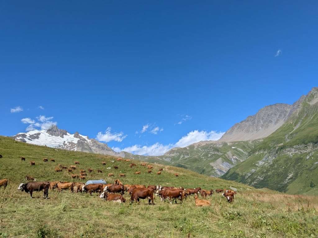
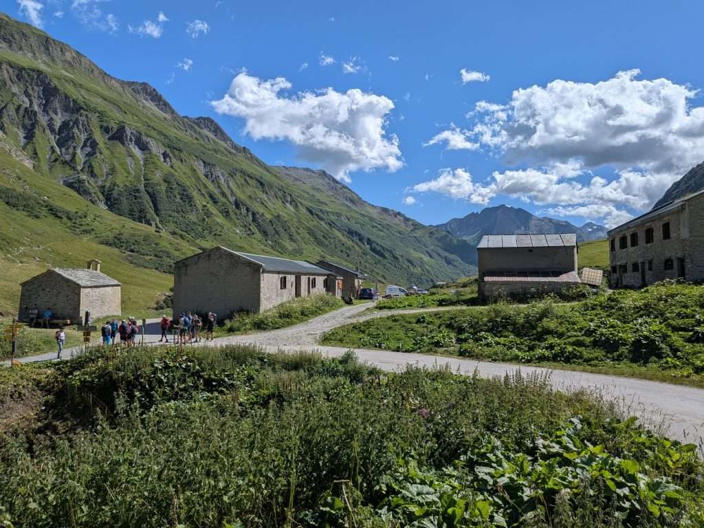
The Col des Fours is one of the best alternate routes on the Tour du Mont Blanc for hikers looking to trade a bit of extra climbing for bigger views, quieter trails, and a more rugged alpine experience. Because it branches from the main route near the end of the stage, it offers a relatively easy way to add variety to your hike without dramatically changing your day.
For hikers staying at Refuge des Mottets, the variant is an especially appealing option, allowing you to avoid the full descent to Les Chapieux before climbing back up the Vallée des Glaciers. That said, hikers prioritizing an easier day, poor weather conditions, or simplicity may prefer to stick to the standard route or use the Les Chapieux shuttle to shorten the walk to Refuge des Mottets.
If conditions are good and you enjoy quieter mountain trails, the Col des Fours is well worth considering.
Want to see how the Col des Fours fits into your Tour du Mont Blanc?
In our TMB Trek Planner, you can easily add the Col des Fours variant to your itinerary, compare it directly with the main route, and see how it affects distance, elevation, and daily stages.
It’s a great way to decide whether this spectacular variant makes sense for your itinerary—before you ever set foot on the trail.
Let us help plan your TMB
We’re here to help! We offer comprehensive TMB planning support so you can plan your perfect trip!
In addition to our TMB Trek Planner, we also offer the following TMB planning services:
Why work with us?

As passionate hikers, we’ve made it our goal to empower you with all of the information you need to have your best TMB experience.
We’ve helped over 2,500 hikers prepare for their trips, navigate on the trail, and simplify the planning process.
