

Hikers have two main route options for the classic first stage of the Tour du Mont Blanc between Les Houches and Les Contamines. The main TMB climbs to the Col de Voza before descending through a series of charming hamlets, while the Col de Tricot variant takes a higher, more dramatic line—crossing a spectacular suspension bridge and dropping into the remote Miage Valley.
In this post, we focus on the Col de Tricot route and break down what to expect on one of our favorite stages of the entire Tour du Mont Blanc.
Get Your FREE Tour du Mont Blanc Essentials Guide

Sign-up to get your FREE TMB Essentials guide below. Find intel on when to hike, basics about the trail, and a printable packing list
Col de Tricot Variant – Stage Overview
Les Houches → Les Contamines
Variant Route
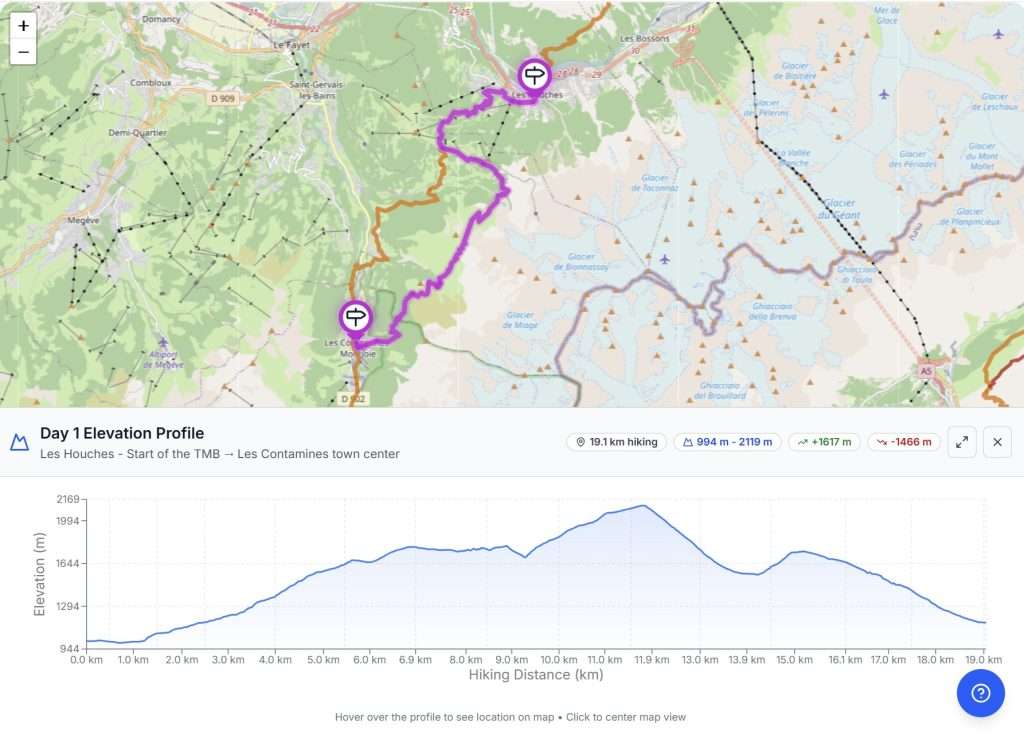
19 km | 12 mi
1600 m | 5200 ft
1450 m | 4750 ft
7 – 9 hours
We think the Col de Tricot variant is absolutely worth it—especially as a first day on the TMB. It’s far more scenic than the standard route between Les Houches and Les Contamines, and the remote feel of the Miage Valley is a real highlight.
While it does add some difficulty, using the Bellevue cable car at the start or end can make the day much more manageable. If you’re up for a bit of extra challenge, this is a variant we strongly recommend.
Want to see how the Col de Tricot fits into your Tour du Mont Blanc?
In our TMB Trek Planner, you can easily add the Col de Tricot variant to your itinerary, compare it directly with the main route, and see how it affects distance, elevation, and daily stages.
It’s a great way to decide whether this spectacular variant makes sense for your itinerary—before you ever set foot on the trail.
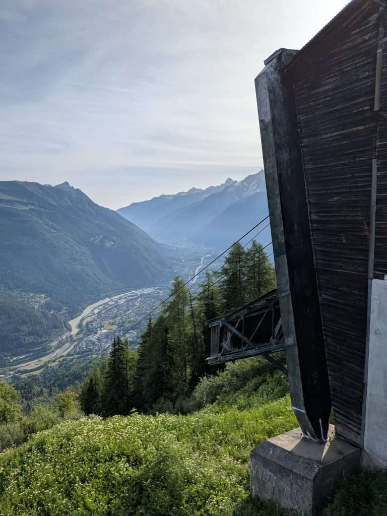
The Col de Tricot route really begins at the top of the Col de Voza, where the trail splits from the main TMB. At first, it follows the old Tramway du Mont Blanc tracks along a smooth path, passing the historic Hotel Bellevue, before reaching a junction with a short connection to the nearby Bellevue Cable Car. Many hikers choose the cable car, which runs directly down to Les Houches—perfect if you want to save your legs for the high alpine sections ahead.
Taking the Bellevue Cable Car at the beginning of the stage will reduce the route to 12.6km with 800 meters of elevation gain and 1400 metes of elevation loss.
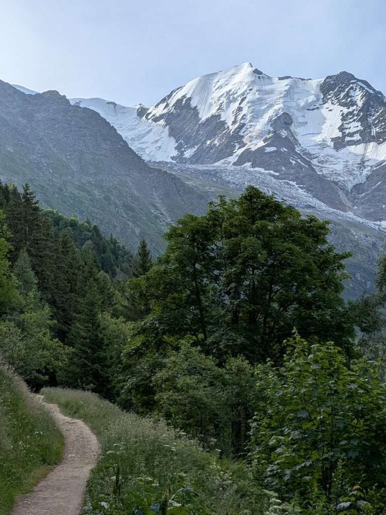
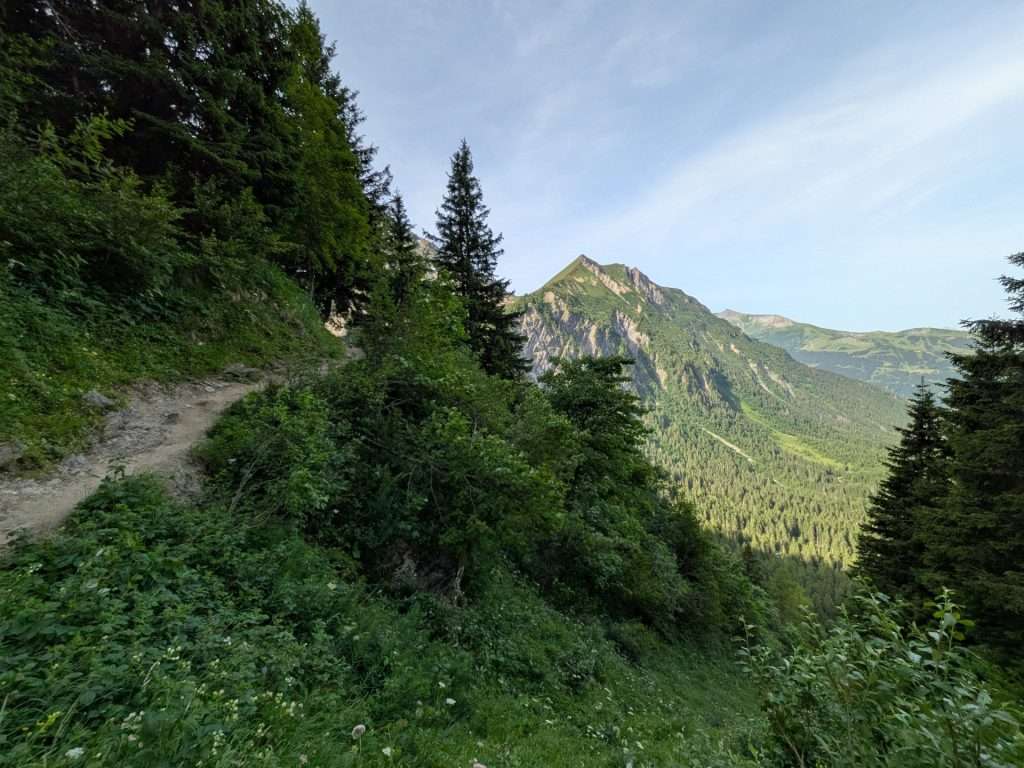
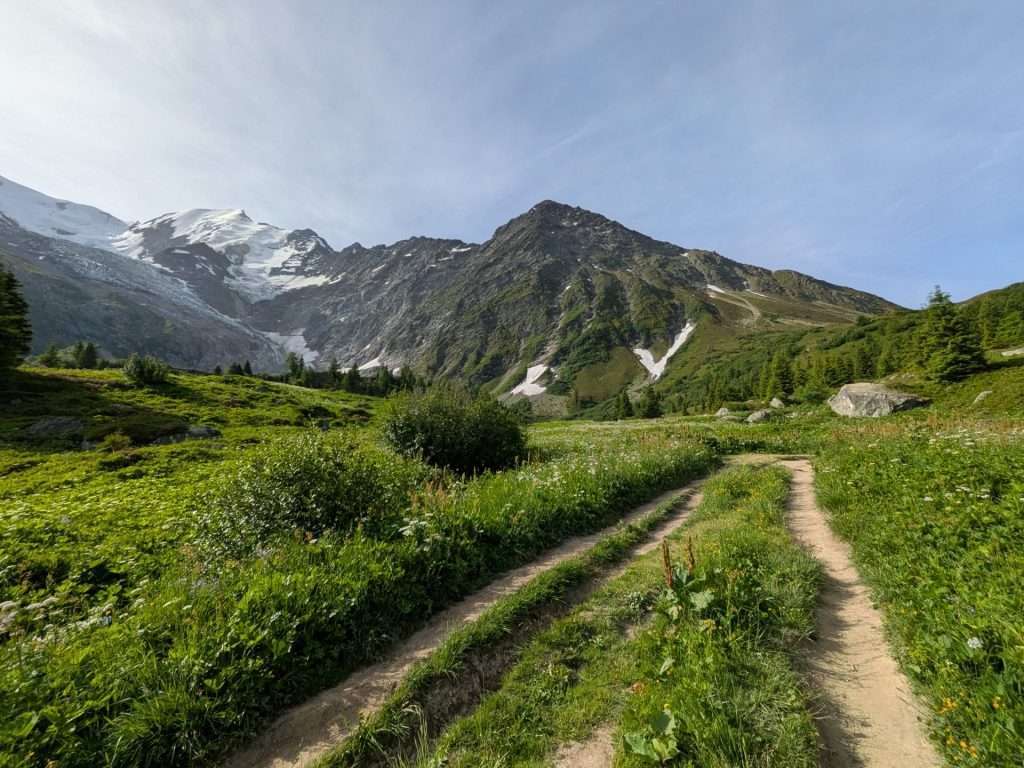
From here, the trail heads into the forest along a gentle path, with occasional glimpses of the Dome du Goûter peeking through the trees. The terrain gets a little rockier, but it’s still easy to navigate. There’s almost no elevation gain here, so take a moment to enjoy the subtle ups and downs before the real climb to Col de Tricot begins.
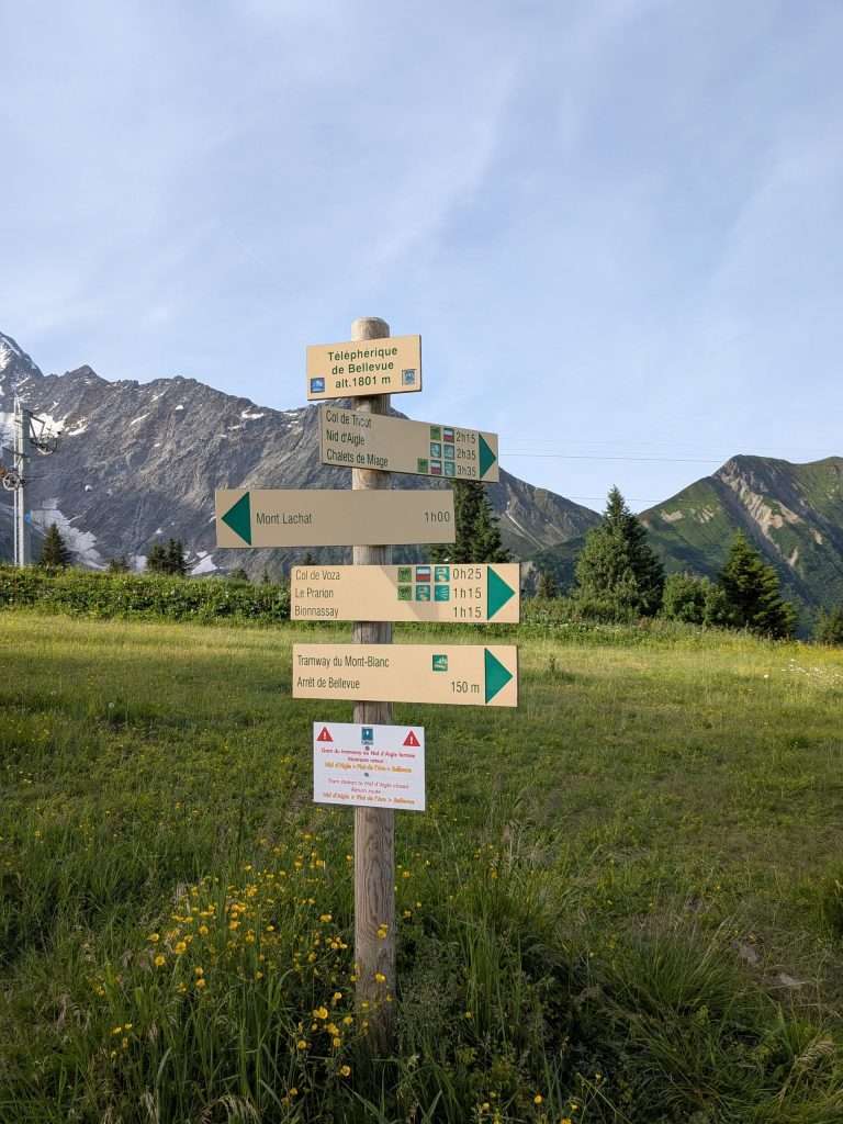
Soon, you’ll reach the junction at Plat de l’Are, where signs direct TMB hikers to the right toward Col de Tricot and the Chalets de Miage. Stop for a second—the views of the Bionnassay Glacier here are simply jaw-dropping!
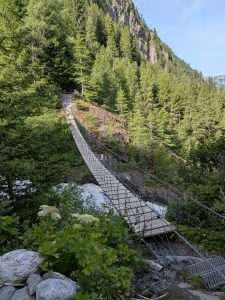
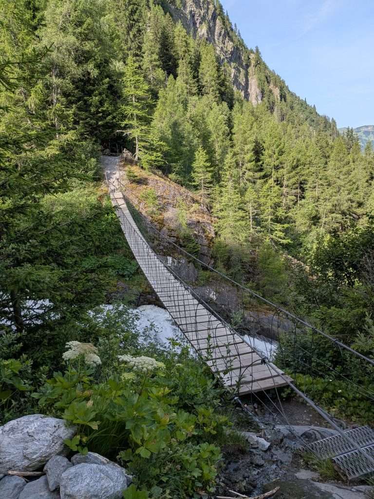
From the junction, the trail dips slightly along a rocky path before leading to one of the highlights of the stage: the suspension bridge over the roaring Bionnassay torrent. Pause to take it in—watch the glacial waters thundering beneath you and glance up at the glacier itself, the source of all that rushing power.
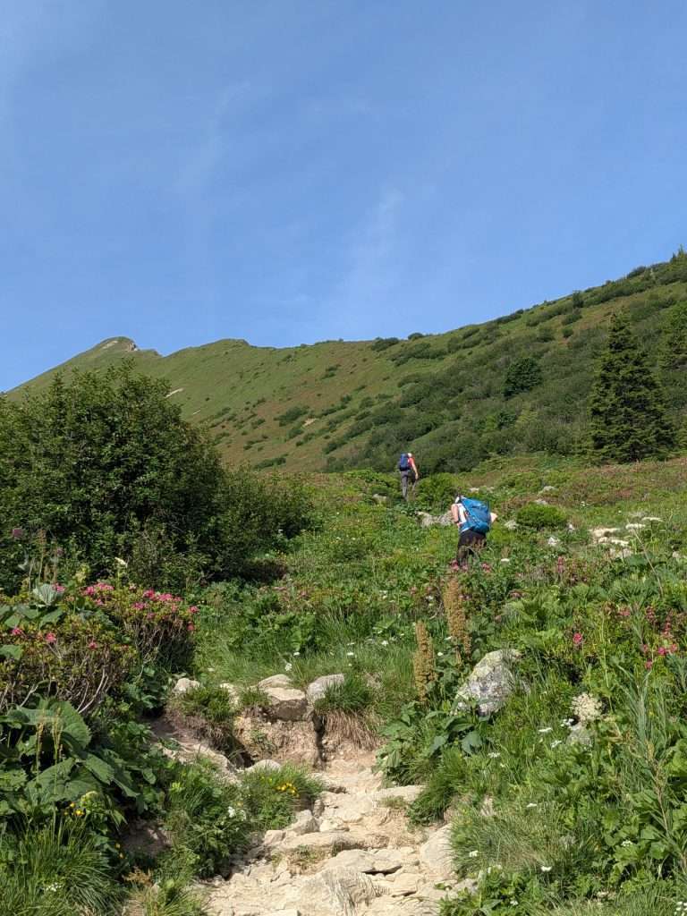
Once across, the climb to Col de Tricot begins in earnest. The ascent is steady, and as you gain altitude, the views expand and the vegetation thins. The path is a bit rocky and eroded in places, but footing is generally secure.
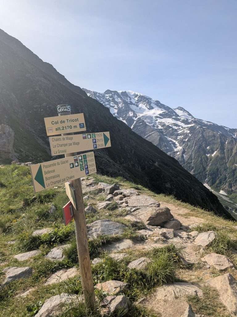
Approaching the col, you’ll reach a small junction where signage guides you onto a ridge trail along Mont Vorassay. Both paths reach the Col, but the ridge route is recommended. It’s steep but in excellent condition, eventually delivering you to the high point at 2,120 meters. Here, grassy slopes and scattered rocks make a perfect spot to take a break and soak in the surrounding peaks—what a reward!
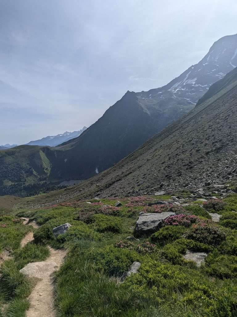
Of course, after enjoying the high alpine scenery, your eyes will inevitably drift to the descent: seemingly endless switchbacks dropping nearly 600 meters into the Miage Valley. On our last hike, we counted over 30 of these switchbacks! While steep, they’re not technical—just take your time, enjoy the views, and watch your footing. The smooth trail can be slippery in places, so trekking poles are a real lifesaver here.
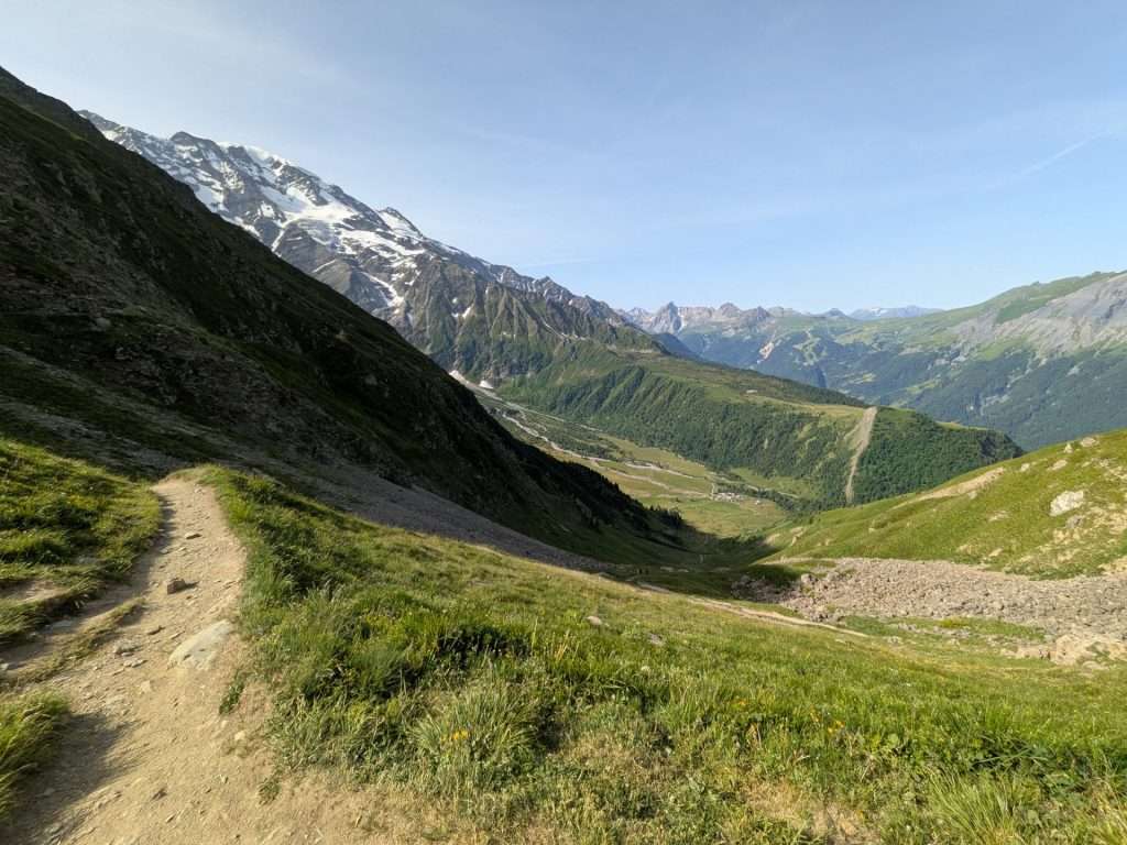
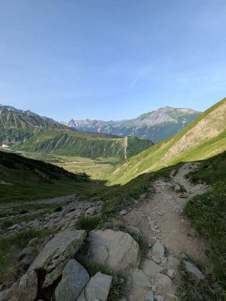
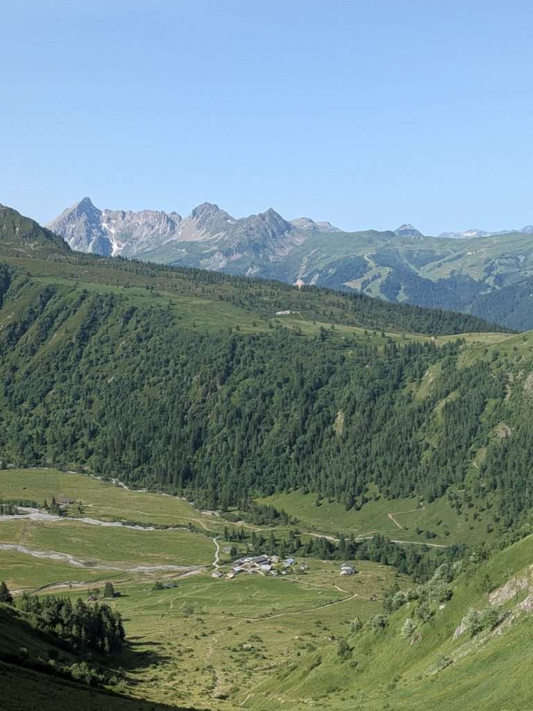
Descending into the Miage Valley, the landscape shifts from high alpine to pastoral charm. This valley feels almost untouched by time, with small clusters of buildings and grazing cattle adding to the idyllic vibe. At the heart of the valley is Refuge de Miage, with a patio that offers unbeatable views of the Domes de Miage. A stop here is a must—our go-to treat? Seasonal fruit tart and a coffee. Just past the refuge, you’ll find a water source, public toilet, and a free bivouac area for those camping.
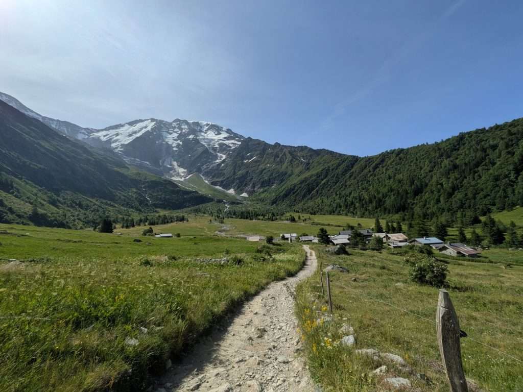
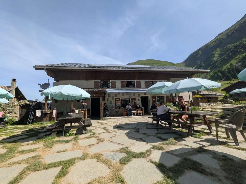
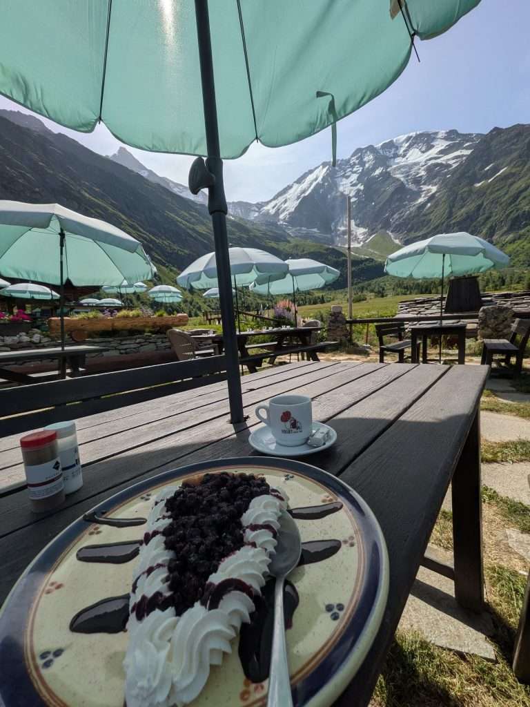
From Refuge de Miage, your map might show just a short climb to Auberge du Truc before the final descent into Les Contamines. Don’t be fooled—the climb always feels trickier than it looks! Smooth and straightforward as it is, there’s something about a “second climb” that tests the mind as much as the legs.
Once you reach Auberge du Truc, take a break if needed. Just past the refuge, there’s a public toilet before the trail widens into a forested two-track path. Enjoy this easy stretch with occasional glimpses of distant peaks.
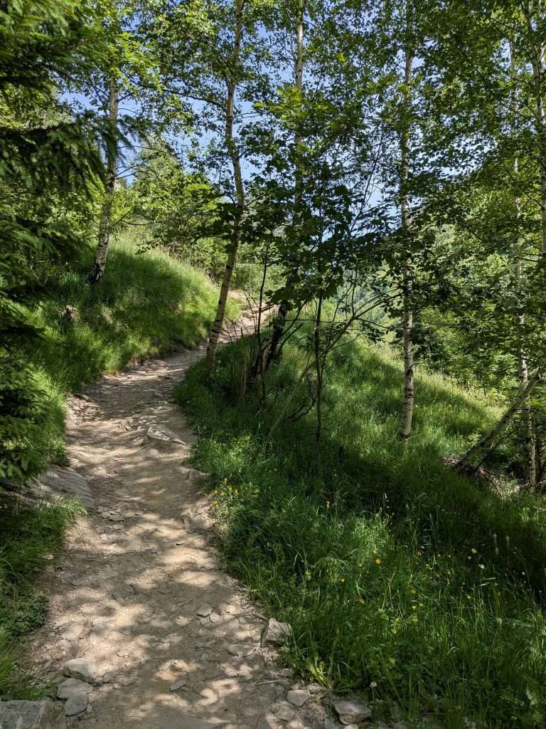
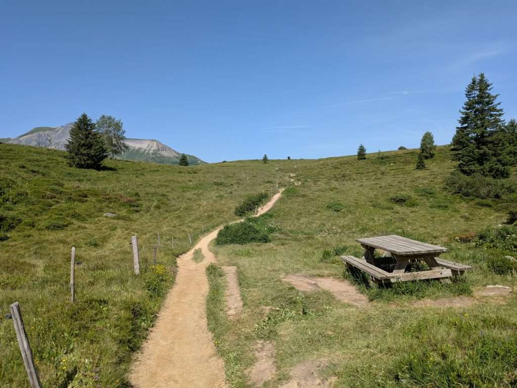
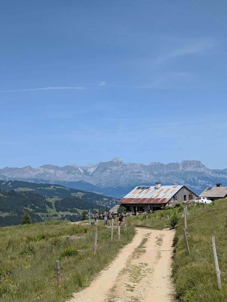
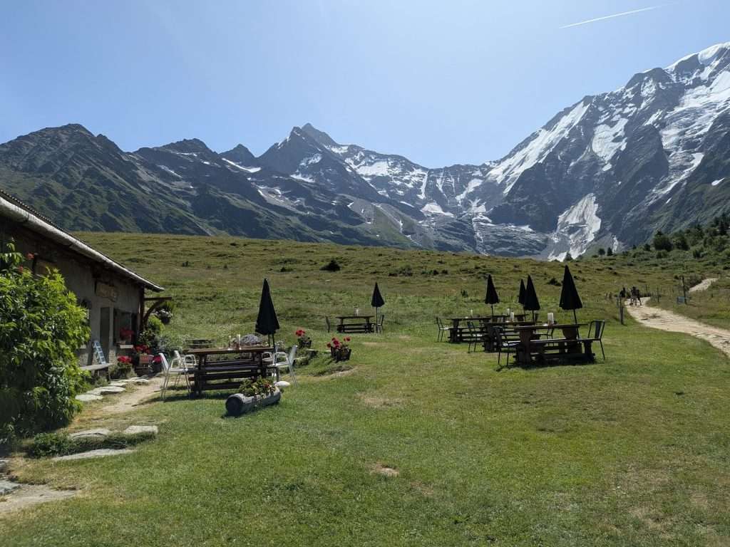
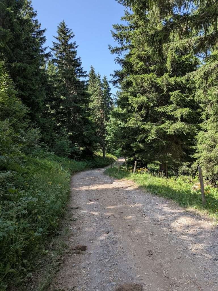
Eventually, you’ll come to a junction directing you onto single tracks toward La Frasse and Les Contamines-Montjoie. Here, the views open up again, offering long sightlines toward the Col du Bonhomme.
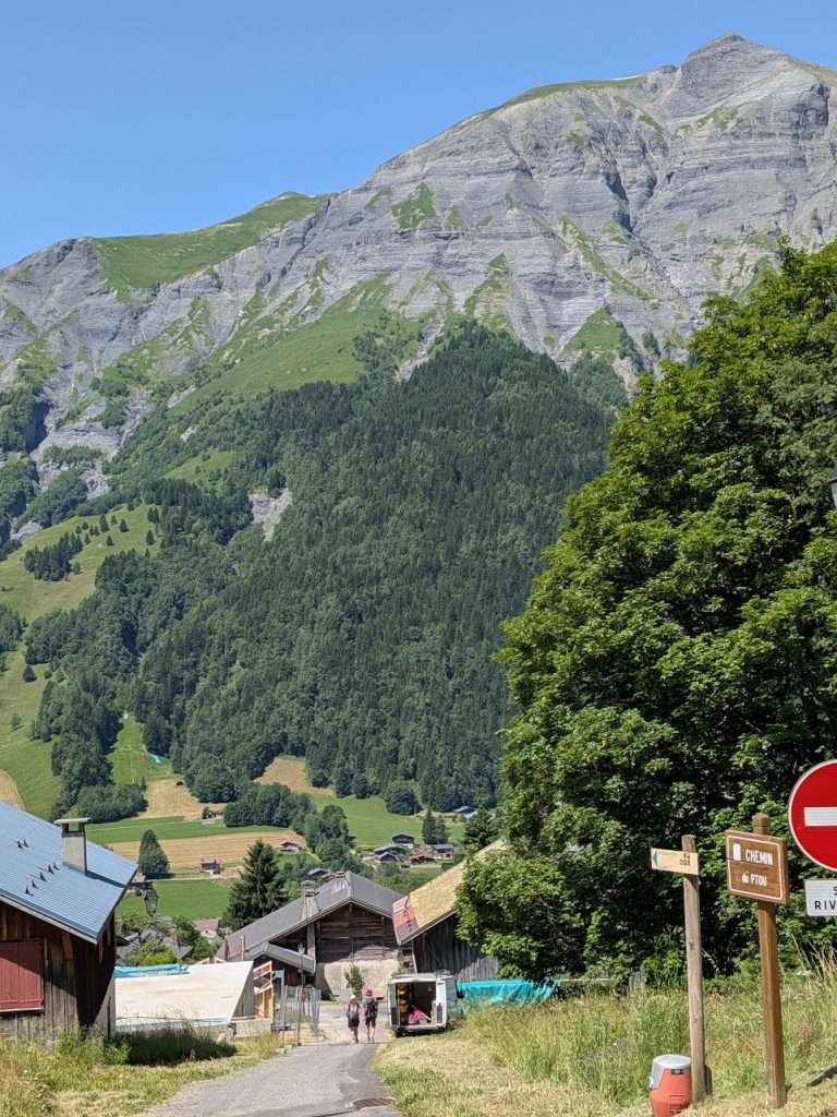
The final section of the route descends into Les Contamines via a steep road. At the top, you’ll find public toilets and a water tap, then continue the paved descent into the village—congratulations, you’ve completed the Col de Tricot variant!
Want to see how the Col de Tricot fits into your Tour du Mont Blanc?
In our TMB Trek Planner, you can easily add the Col de Tricot variant to your itinerary, compare it directly with the main route, and see how it affects distance, elevation, and daily stages.
It’s a great way to decide whether this spectacular variant makes sense for your itinerary—before you ever set foot on the trail.
Let us help plan your TMB
We’re here to help! We offer comprehensive TMB planning support so you can plan your perfect trip!
In addition to our TMB Trek Planner, we also offer the following TMB planning services:
Why work with us?

As passionate hikers, we’ve made it our goal to empower you with all of the information you need to have your best TMB experience.
We’ve helped over 2,500 hikers prepare for their trips, navigate on the trail, and simplify the planning process.

Hello from Centennial, CO. I’m using your website to plan our Tour in 2027 or 2028. Since we will probably on do 3-4 of the stages, I’m interested in your top 3 or 4 can’t miss sections. We are pretty experienced with a few 14er’s, Half Dome, Machu Pichu and Milford Track checked off. Hiking around Grindlewald and Zermatt we found natural water sources to be abundant (with our water purifier), thus no need to carry 3 liters of water. Are there abundant water sources along the tour stages both natural as well as at the refugios? Thanks and I really appreciate the details of each stage on your site. Stay Feral!
Hi Todd, Glad your starting planning early! If you’re looking to do 3 or 4 stages the section between Chamonix/Les Houches and Courmayeur is a good option. You can hike a bit on the Grand Balcon Sud above Chamonix, take the Col de Tricot variant, then hike to Les Chapieux, and finally onwards to Courmayeur. That last day there are a few transit options you can use to make it more manageable. And yes, water is generally plentiful on the trail. We typically recommend starting out the day with about 1.5L and then refilling when given the change.
Cheers!
Ian
Thanks Ian!